Storm Effects: Dam "Rooster" on Deer Creek, February 9, 1999
(Posted the same day)

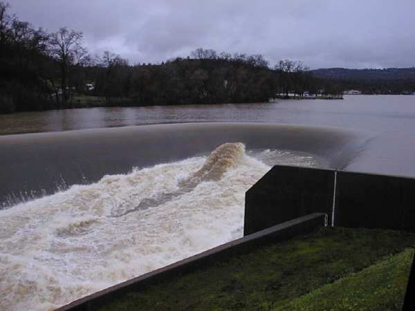
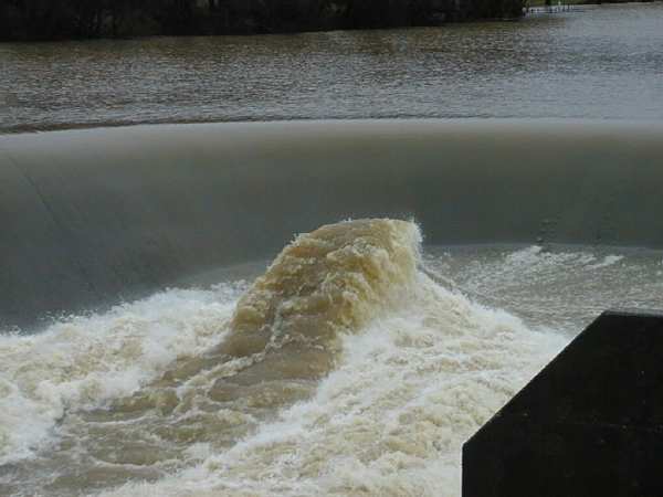
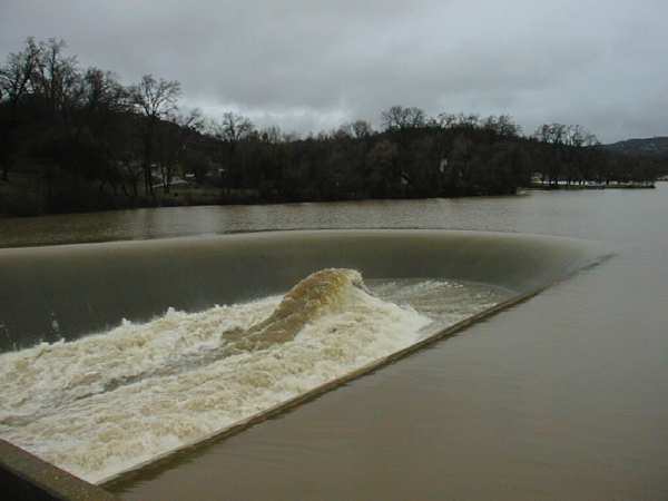
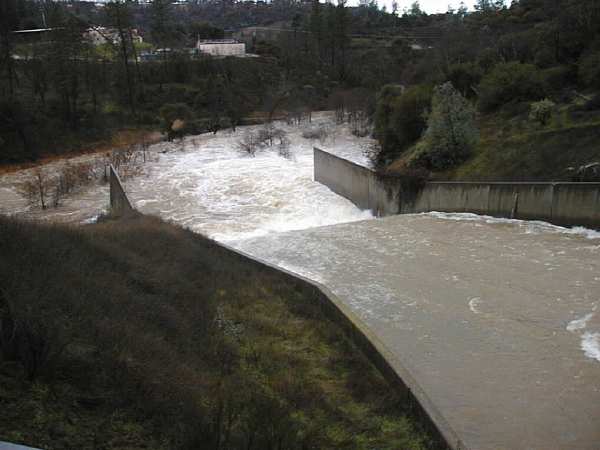
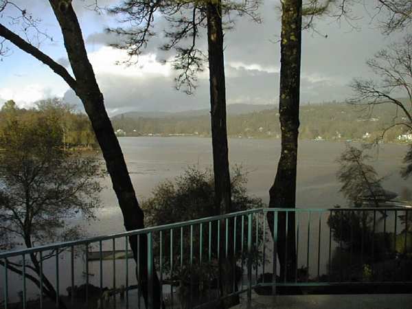
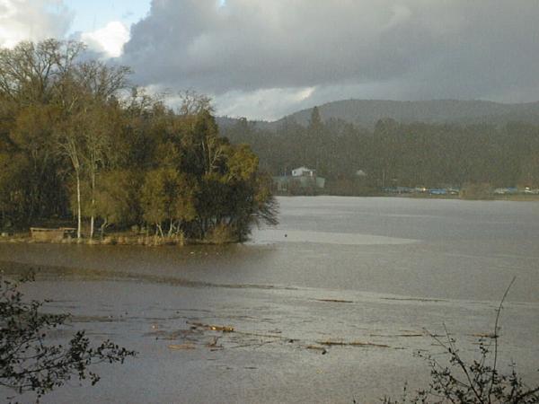
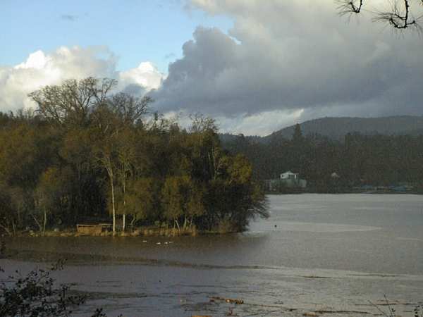
Before we looked at the lake on the 8th fairway, Mary and I had driven over to the dam on Deer Creek that forms Lake Wildwood. When the lake level rises, it does so because the inflow from Deer Creek, Wildwood Creek, and all the drain ditches around the lake, forces the depth of water above the dam crest to be large enough to give an equal outflow over the crest. This morning the lake rose about two feet, to give a two-foot-deep sheet of water flowing over the crest and down the spillway. 
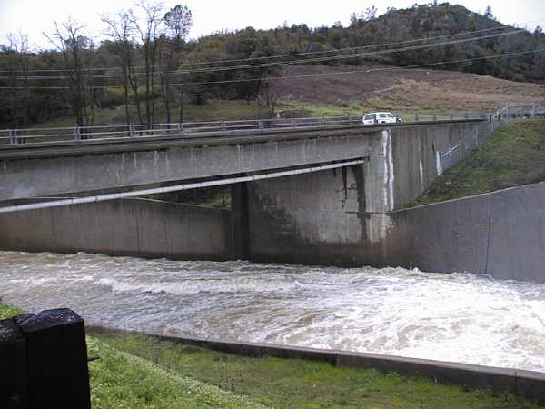
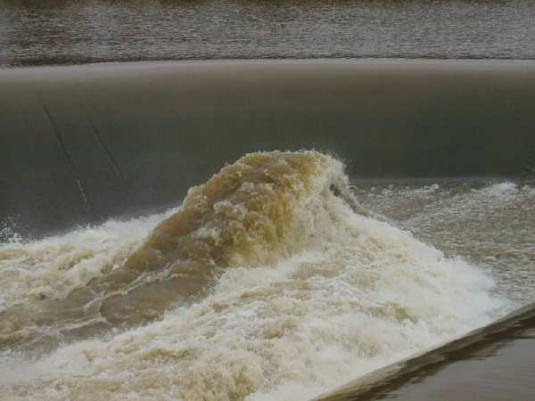
The dam being horseshoe shaped, as the water goes down the spillway it converges, onto a chute leading to Deer Creek below. The converging water forces itself back up into a huge rooster tail. This morning the top of the water in the tail reached back up to about the height of the dam crest from which it came. This is a spectacular sight as you can see in the pictures below.

Overall view of dam and rooster tail.

Telephoto close-up from same viewpoint.

Water flow at an 8-foot depth going under the bridge just beyond the rooster tail.

Overall view of dam and rooster tail from different vantage point.

Close-up of dam and rooster tail from same vantage point.
After the water flows over the dam in goes almost immediately under a bridge that carries Pleasant Valley Road across Deer Creek. A concrete chute on the downstream side of the bridge guides the water down to Deer Creek, as seen below.
Flow down the chute and into Deer Creek.
After preparing the web presentation of the golf course "lake," and the dam rooster tail photographs here, I took an hour's walk to get out of this chair. Then our neighbor Faye stopped by to visit and look at the pictures. Just after Faye left at 4:30 p.m. I looked through my office doors, out the living room window, and across the lake to see hail coming down. I grabbed my camera and took the following three pictures before the hail stopped. The grainy haze you see is probably the hail. But I show these pictures mainly because of the dramatic clouds and lighting. They also show some of the flotsum that is drifting across the lake from all the debris that flowed in from the upstream reaches of Deer Creek.
General view of hail storm from our deck.

Zoom into Ginger Loop point.

Another zoom showing a patch of blue sky.
(Thank goodness. Tomorrow we play our Men's club tournament.)

Return to Family Hub - - - Return to Home Page Top