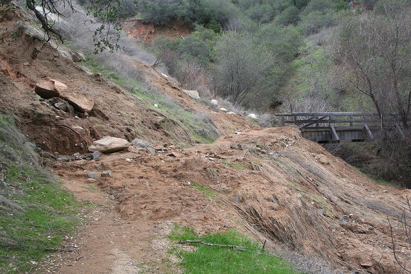
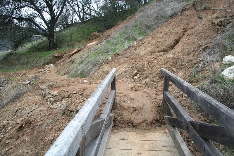
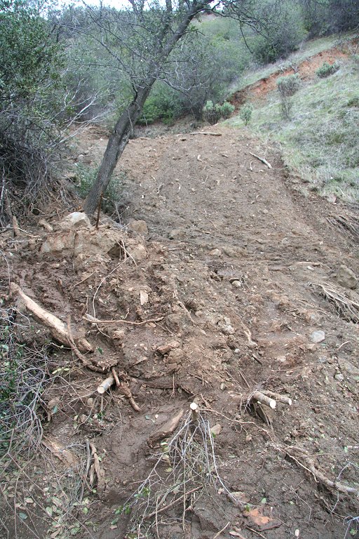
| Base of the slide on the outgoing approach to the upper trail bridge |
 |
Mudslides on Buttermilk Bend Trail
Photos taken and posted January 10, 2006
© 2006, Herbert E. Lindberg
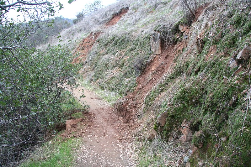
After several storms in December soaked the soil throughout Nevada County, the storm at the end of the month broke loose several severe slides along the Buttermilk Bend Trail at the South Yuba River State Park, Bridgeport. Crews have been out to remove small mud flows across the trail (a few cubic feet), but many cubic yards of mud remain to be removed from two major slides, one at the bridge near the start of the upper trail, and another at a bend before you get to French Corral Creek. I heard an unconfirmed eyewitness report that the trail beyond this point experienced only minor damage, and the new bridge across French Corral Creek suffered no damage. Twelve pictures below describe the state of affairs, including the farther slide but nothing beyond.
| Base of the slide on the outgoing approach to the upper trail bridge |
|
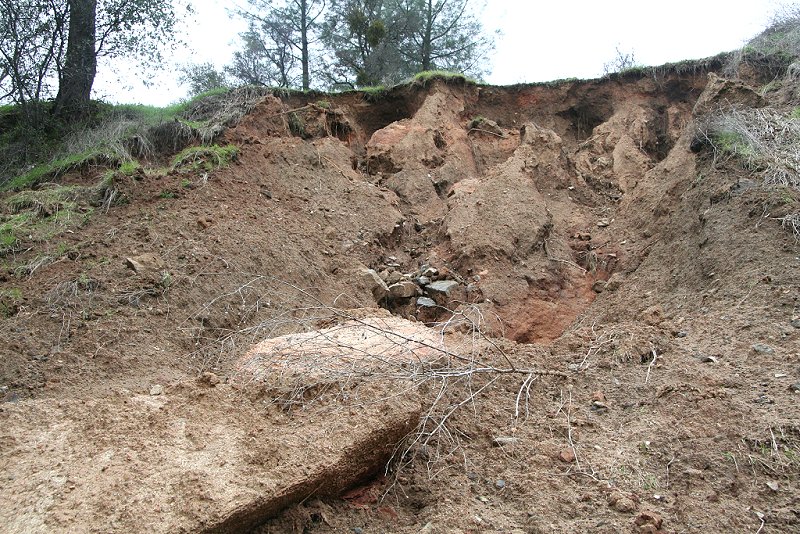
| Another view, nearly straight up the slide |
 |
|
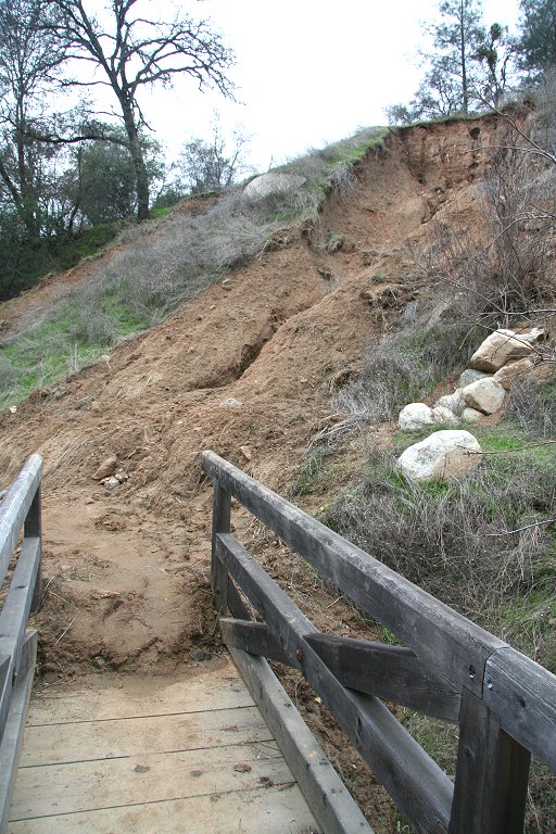
This view from closer to the bridge shows the lateral extent of the top of the slide. |
 |
| The mud across the trail is
about two feet deep at the bridge. The bridge abutments appear to be intact, but with wood braces buried. |
 |
|
A better view of the extensive mud across the trail |
 |
|
This is a typical small slide that has been removed from the trail, viewed looking back toward the trailhead. |
 |
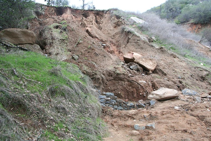
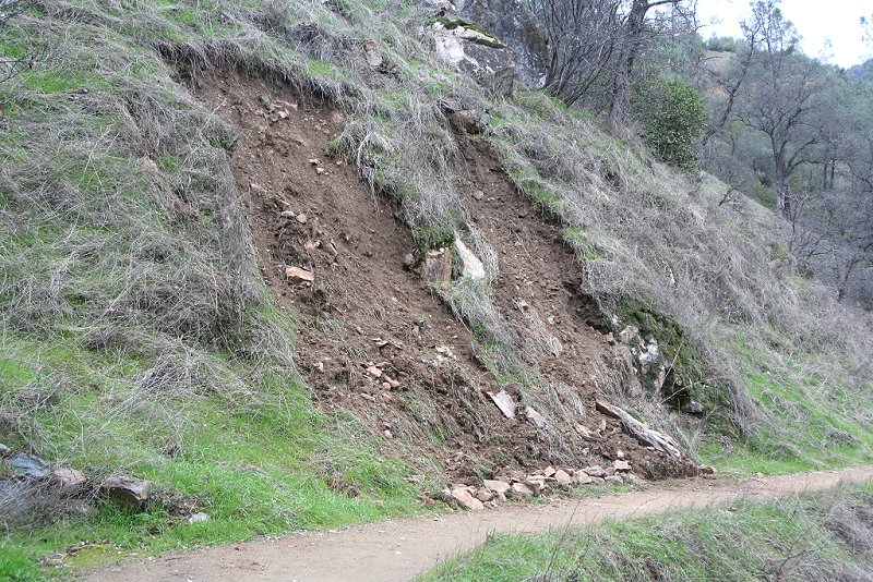
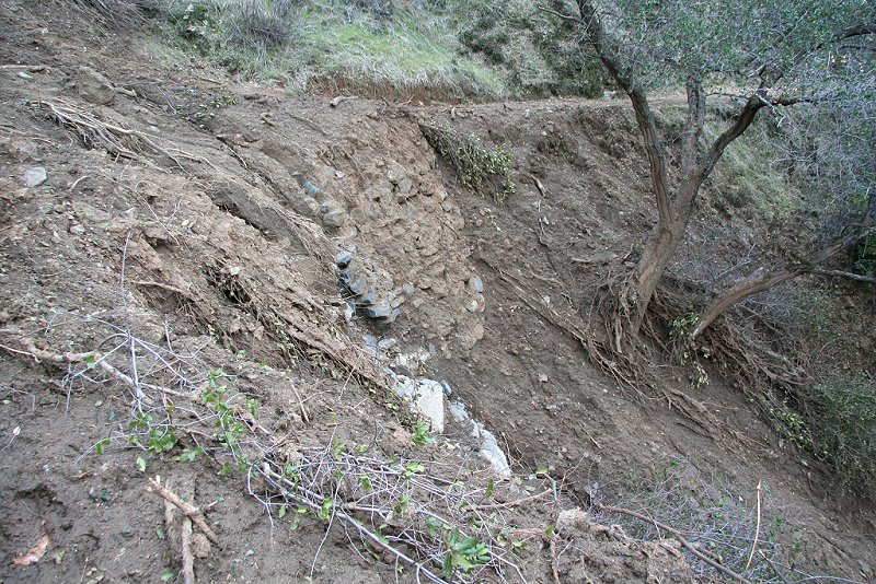
| A more extensive slide, with its base now stabilized by rip rap |
 |
|
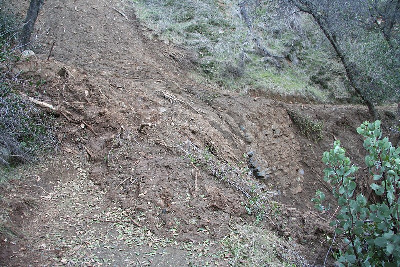
An extensive slide down a ravine has covered
this bend in the trail with several feet of mud. |
 |
| Another view, looking up the
ravine The stumps of the small trees are in the foreground. |
 |
| A wide angle view of the
rubble on the downhill side of the trail Note that the rip rap that stabilized this slope is now partly covered with mud. |
 |
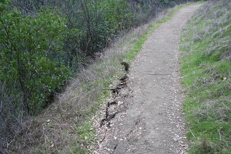
| A crack which opened on the
trail, photographed while returning to the trailhead The crack is worrisome because it is the upper end of a slab that is sliding down the steep slope. |
 |
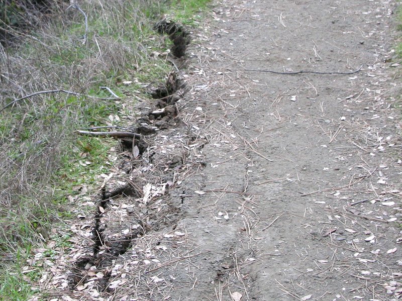
| Zoomed view of the crack |
 |