.
| Tahoe National Forest Map |
|---|
 |
|
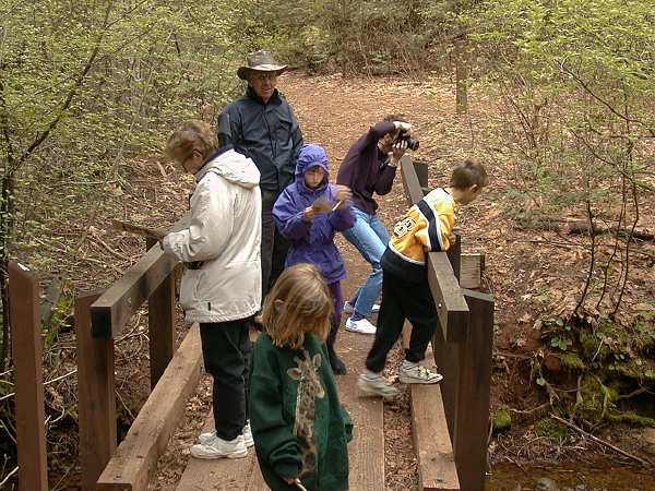
The Nature Trail is a 3/4-mile loop through dense woods with soft footing on level ground. There are 14 marker posts at which you can stop and read about items of interest from the trail guide. In the picture below you can see Mary and Maddie reading about Post 4 as most of our group are crossing a foot bridge over Rock Creek. Barbara is snapping a picture of the creek. I'm standing in my rain hat prepared for the shower that never came. Andy took the picture. On our drive from Nevada City to the trail head, a rain shower got more intense as we climbed toward the mountains. But just as we arrived at the trail head the shower stopped and we saw no more rain (or sun). |
| On the bridge over Rock Creek along the Nature Trail. |
|---|
 |
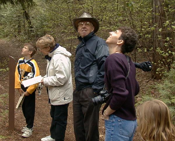
In the picture below we're at Post 5, which points out a stand of huge madrone trees that reach almost as tall is the douglas fir trees. None of us had ever seen such large madrone trees, as you can tell by our expressions as we cast our eyes upward. . |
| Looking up at huge madrone trees. |
|---|
 |
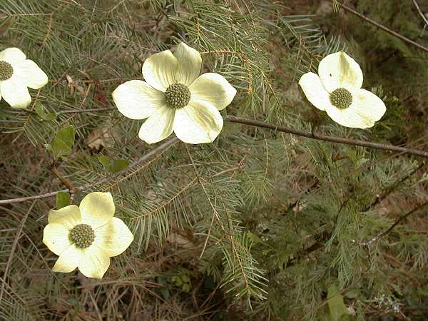
We saw many low-lying shrubs/trees that had dogwood-like leaves bursting out, but the picture below is of the only tree we saw with flowers. . |
| Dogwood Flowers |
|---|
 |
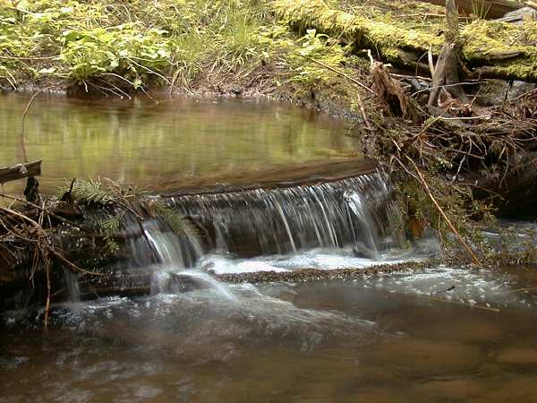
The waterfall along Rock Creek pictured below gives a good feel for the ambiance along the trail. As in this picture, there was heavy moss everywhere, and many decaying tree limbs lying around exemplifying the natural cycle of birth, death, and renewal. In fact, that's the theme of the trail and of the trail guide. . |
| Small waterfall in Rock Creek. |
|---|
 |
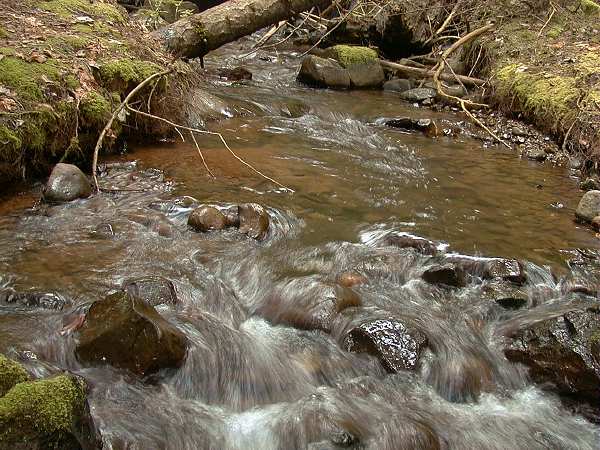
The picture below is Andy's favorite. With the thick canopy of trees, and heavy clouds on this showery day, there wasn't much light along the trail. The resulting long exposure time brought out the swirls of water around the rocks much like strokes of a paint brush. . |
| Water swirling around rocks in the creek. |
|---|
 |
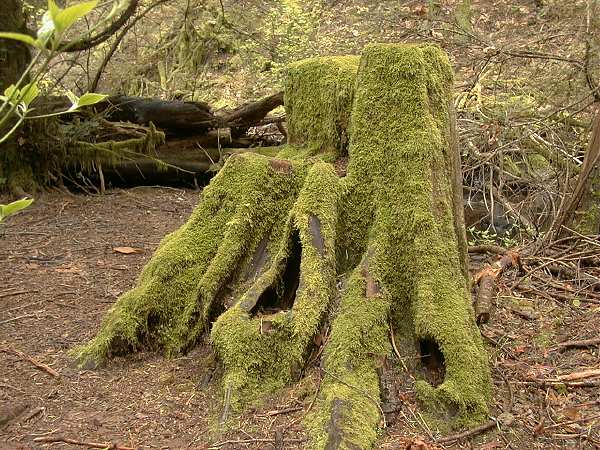
Andy had to take great care to brace his camera to take the following picture of moss on a tree stump. There were even more interesting tangled stump forms, but they were in such dark areas that Andy couldn't hold is camera steady enough to get a good picture. . |
| Example of heavy moss, on a decaying tree stump. |
|---|
 |
|
|