Hike Up River From Edward's Crossing
(Pictures taken and posted February 29, 2004)
© 2004  Herbert E. Lindberg

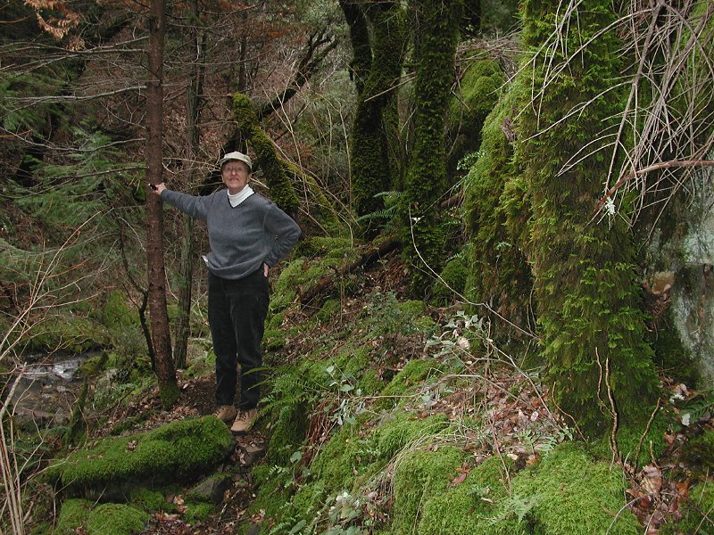
Today  was a sunny Sunday between rain storms so Mary and I decided to take a hike in the South Yuba River area. A golfer on Friday mentioned that he was going to take a 15-mile hike up river from Edward's crossing to Humbug Creek at Malakoff Diggins State Park. I'd always wanted to see the trail up river from Edward's but didn't know where the trailhead was. When he told me, I learned why it wasn't obvious. We had to cross the old bridge at Edward's Crossing and go about three miles on the old, formerly asphalt road (now chuckholes, gravel, and dirt) to the right fork toward Malakoff Diggins. A few hundred yards up the right fork is an obscure sign for a camping area and parking lot on the right side of the road. We drove in and the trailhead was 
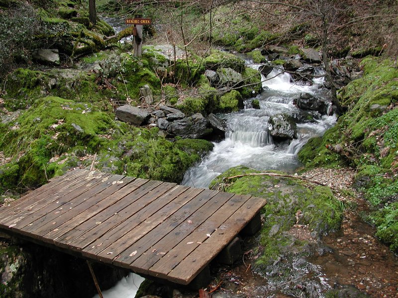
immediately apparent. Somewhat more than a mile along the trail was a fork marked by:
.


I show this sign because it summarizes the key points of interest on the trail. Our goal was to take the trail toward Humbug as far as the Overlook Point picnic site. Points beyond were definitely beyond our range with 15 extra pounds under our belts and 73 years on our clocks. The other point to note is that straight-ahead the trail continues along Kenebec Creek to the South Yuba River at the Illinois Crossing. The South Yuba Trail, which we took, goes up river along a ridge but we didn't go that far.

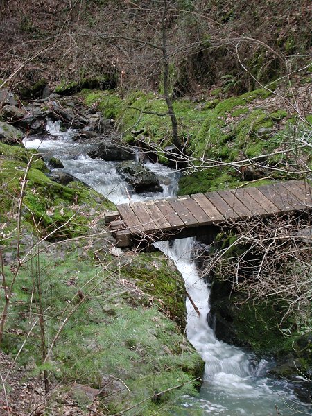
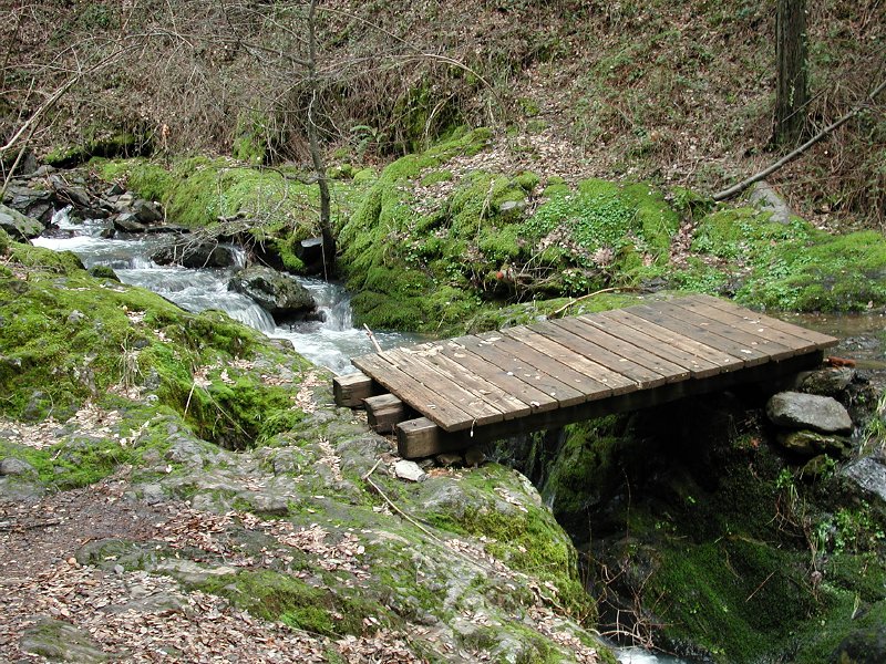
All told we probably went only a mile-and-a-half out and then back to the car (well, maybe 2 miles out and 2 miles back) because this part of the trail is up, then down, up, then down, and wore out these old legs. The beginning of the trail drops down steeply from the parking lot to Kenebec Creek. After about a quarter mile we could hear the creek, and another quarter mile brought us to creek rapids under a foot bridge.

Footbridge across Kenebec Creek


Up creek to the left of this bridge is a good-sized waterfall that Mary and I climbed to by carefully picking our way along slippery, moss-covered rocks. I took a couple pictures of the falls but the trees were dense and the sky dark with rain clouds so the rapids in the picture above are more interesting here. Nevertheless, as I inched my way back down from the falls I got a reasonable picture of Mary and the heavily moss-covered rocks and trees. This is definitely a rain forest at this time of year.

Mary among the moss-covered rocks and trees just below the waterfall.


Closer view of the foot bridge below the waterfall.


We crossed the bridge, hiked along to the Y in the trail marked by my introductory sign, and then hiked toward the picnic site and overlook. When we got to an overlook (not the overlook) after hiking down to and up from two minor creeks, Mary decided we'd better turn back. She got no argument from me! As we approached Kenebec Creek on the way back I saw a bright toadstool right in the middle of the trail that I hadn't noticed on the way out. It was about four inches across. I had to snap a picture for our daughter Barbara who likes these things. Sorry about having to use flash, but the trail was really dark at this point and we were actually getting a few drops from those dark rain clouds.

Bright-colored toadstool (mushroom? Nahh!)


Soon we were back at the Kenebec Creek footbridge, which was even more picturesque from this side.

Footbridge over Kenebec Creek from the opposite side.


All in all, we really enjoyed this trail and conclude that we should definitely keep it on the itinerary for visits by the children and grandchildren. It's deeply enough into the trees that it would be pleasant even on moderately warm summer days, but would obviously be best in late Spring or early Summer. It would have been perfect today with a little more sunshine.

Home