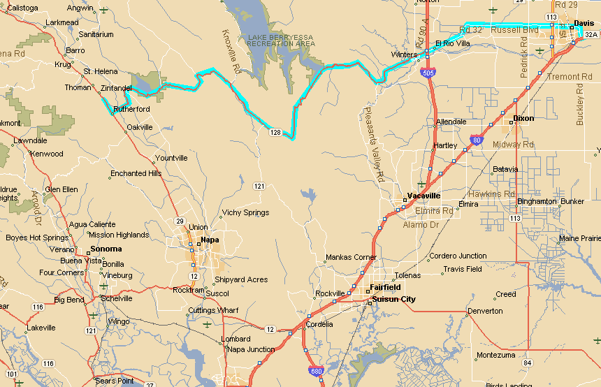
As you can see, we skirted north of Davis to get to Hwy 128 where it
begins in Winters at Hwy 505. It was interesting to see the growth of
Davis in the 15 years or so since Craig was there getting his BSEE
degree. There was dense population and many stoplights in our attempt to
bypass the city on Covell Blvd., even though this is the last major road
north of town.
But I digress. The main purpose of the route map is to point out
that the trip from Winters to St. Helena on Route 128 is beautiful. We
wound our way around the southern edge of Lake Berryessa through scenic
overviews and woods, but never had to go slower than 30 mph, and
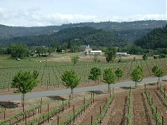
traveled mostly between 50 mph and 60 mph. Hillside vineyards began to
appear as we rounded below Lake Hennessey, and as we approached
Silverado Trail (the road shown in white that parallels Route 29) the
landscape became totally vineyards.
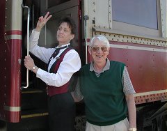
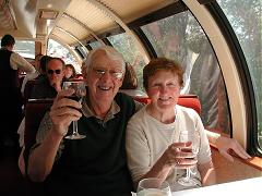
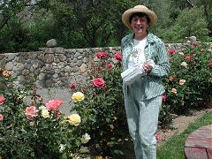
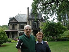
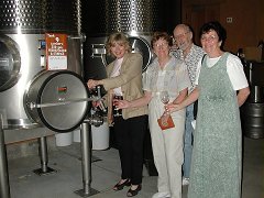
I've broken the description of our Napa Valley adventures into three Web
pages, linked from the thumbnails below. Click on the picture titles to go to
each page.
. |