.
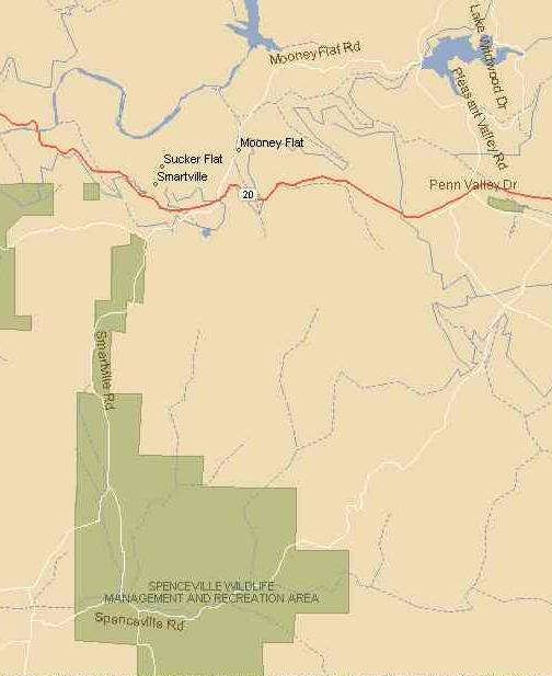
| Map of Spenceville Wildlife Area, and roads to Lake Wildwood. |
|---|
 |
|
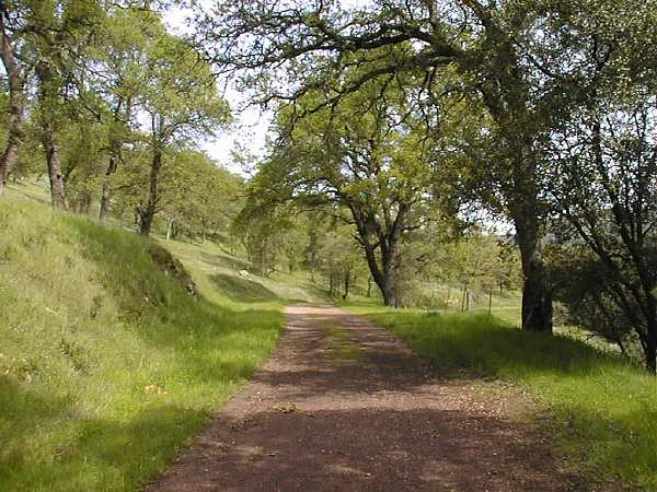
After we were on Waldo Road there was essentially only one way to go, bouncing along this dirt road with a cloud of dust behind. Without knowing it, we were soon on Spenceville Road heading east. The map shows this road continuing on right through the wildlife area and into the town of Penn Valley. In actual fact, after driving about half way across the wildlife area you come to a bridge that has been closed for quite some time. This wooden bridge is in a state of bad decay and has been almost burned through by fires beneath it. Huge boulders have been moved in front of the bridge on both sides to ensure that no motor vehicles cross it. There is ample parking before this bridge, where we parked our car and began the hike, along the continuation of Smartsville road. At this point it's a one-lane, well-packed gravel road suitable for stagecoaches, lined with oak trees and surrounded by rolling hills, as seen in the picture below. |
| Old Spenceville Road, the beginning of the hike. |
|---|
 |
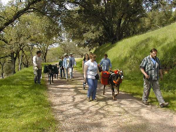
Just as we were beginning the hike a group of hikers with three goats as pack animals were also on their way. As we passed them I turned back and snapped the photo below: . |
| Hiking group with pack goats. |
|---|
 |
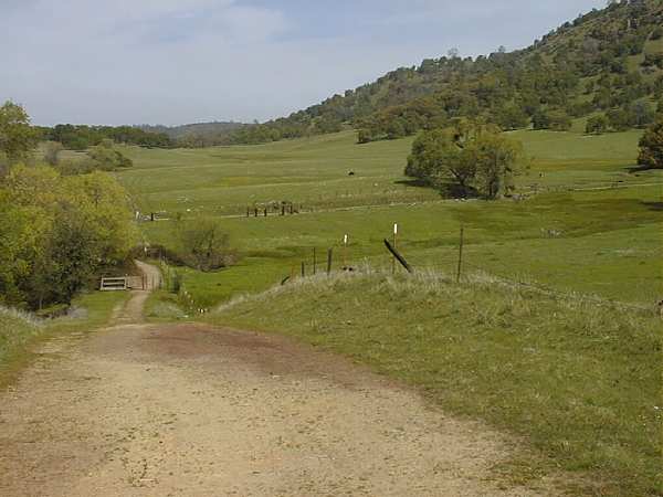
After about a mile along Spenceville Road it stops at a gate and another gravel road turns to the right and heads up a hill along side a wide meadow surrounded by oak trees. The picture below is taken looking back down this hill and out to the meadow. You can see the inaccessible part of Spenceville Road crossing from left to right across the meadow toward a large oak tree. . |
| Meadow after right turn off old Spenceville Road. |
|---|
 |
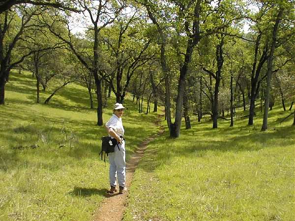
At the top of the hill (in back of me in the above photo) a single-file trail crosses the meadow and leads through the oak trees, as seen in the two photos below. With the fresh-growing oak leaves and lush green grass, views were magnificent in every direction. . |
| Single-file trail through grass and oak trees. |
|---|
 |
.
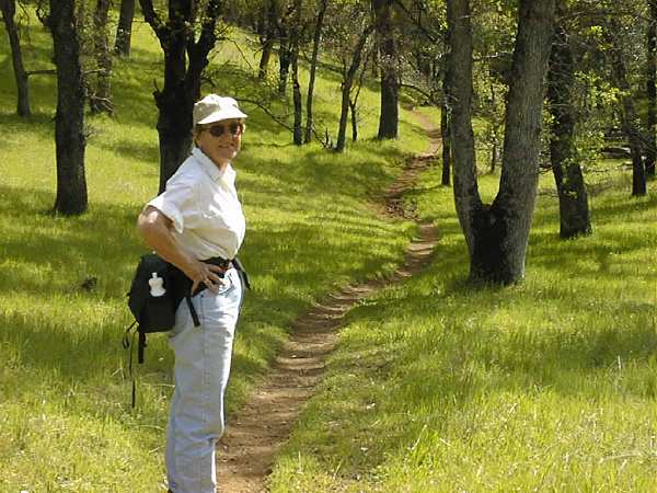
| Closer view of Mary on the trail. |
|---|
 |
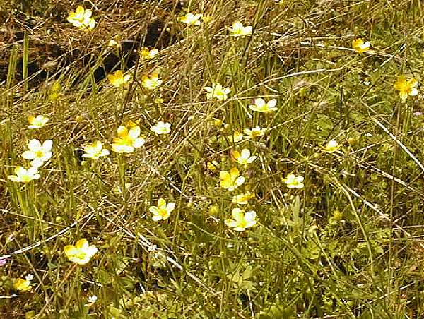
Spring flowers were everywhere along the road and paths. Below are two pictures that really don't do justice to the flowers because most are very small and my camera doesn't have a short-focus macro lens. (I've got my eye on the Nikon Coolpix 990, which will solve this shortcoming, and many more, when it's released in quantity to the public in April, 2000.) But I had to take these two photos anyway because the Buttercups and Blue Dicks were exceptionally numerous along the trail. . |
| Buttercups were exceptionally large and numerous. |
|---|
 |
.
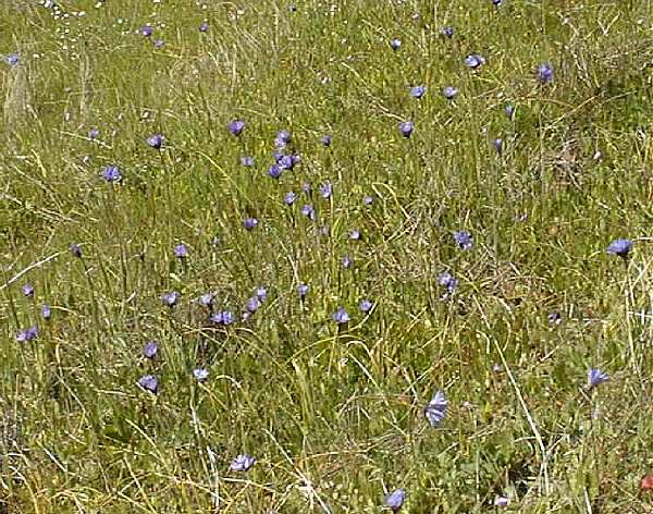
| Blue Dicks appeared singly and in clusters like this. |
|---|
 |
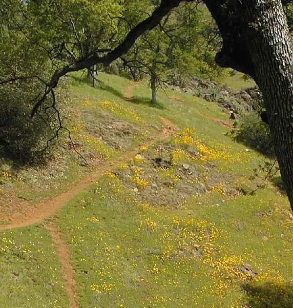
As we approached the falls, the density of poppies along the trail continued to increase. In the two pictures below you can see the green of the grass along the trail becoming overrun by the yellow of poppies. . |
| Poppies along the trail as we approached the falls. |
|---|
 |
.
| Mary looks back among the poppies. |
|---|
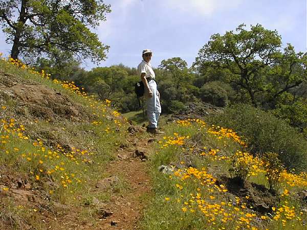 |
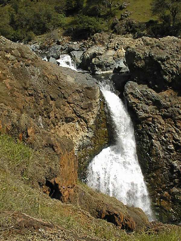
As you may have noticed, particularly in the picture just above, the trail for the last half mile or so to the falls becomes fairly steep, and my old muscles did some complaining. That's another reason for bringing a camera, to give you good reasons to stop and rest as you compose pictures. But not only were we rewarded by the scene above, we came to the falls only a hundred yards beyond the poppy display above: . |
| Spenceville Falls: They fall into an inviting lagoon, but the cliffs are steep and access prevented by cyclone fences. |
|---|
 |
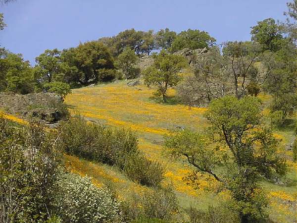
Lest you forget, when you hike to the top of the falls to look at the river feeding them (Dry Creek), turn around 180 degrees and you will be rewarded with the most fantastic display of poppies I've ever seen. An entire hillside extending hundreds of yards is covered yellow and framed with oak trees on either side. This is a sight not soon forgotten. For the picture below I zoomed in to give you a feel for the poppy density, but what you see is only a fraction of the full display. Hurry up to the falls before the poppies are gone! . |
| Poppies on hills up from falls. |
|---|
 |
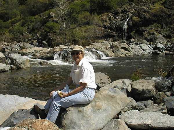
Only the knowledge that there is a quiet spot along the river just below the falls made us head back down from these magnificent views. Here we rewarded ourselves with the lunch we had packed, and listened to the rapids of the river and a little waterfall on the opposite side. After lunch I tilted back against a sun-warmed rock to relax my back in preparation for the hike back to the car. All told the hike is about five miles and not too strenuous. It's mostly gently uphill from the car to the falls and downhill back, a good arrangement for old bods that have been cooped up by weeks of rain. Conditions are ideal for the hike right now and will gradually fade over the next month -- hurry on up! . |
| Mary finishes her lunch at the river's edge. |
|---|
 |
.
| Herb kicks back before heading back to the car. |
|---|
 |